
 I have lived and worked in Ann Arbor for 3 years now and have made many trips to Lansing and Detroit for meetings and events. In Lansing I go to about 5 different locations: my car is almost on auto pilot. I have been to various locations in downtown Detroit and the surrounding suburbs. What would I do without the GPS technology we all take for granted?
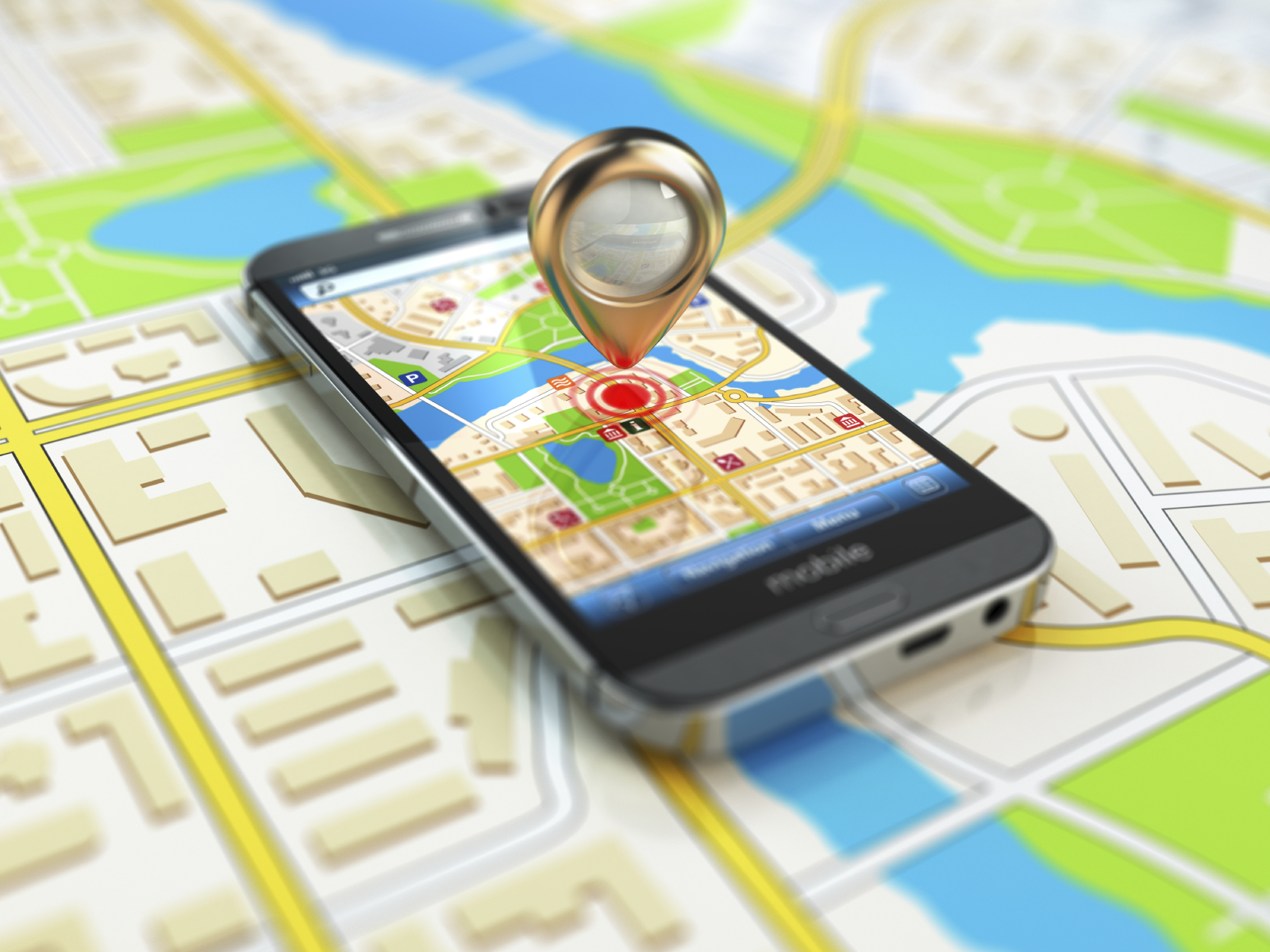
I have a built-in navigation system in my car, but you probably have the same ability with a map app on your smart phone. My daughter warns me though, to not depend on GPS when you are down to the last mile; “Use your eyes,” she says. That’s what I do when I’m going to the Ren Center in downtown Detroit. My biggest concern then is that I will be in the wrong lane and end up taking the tunnel to Windsor, Canada. You can’t just do a U-turn on the other side; you need your passport with you. Unless I carry my passport in my car, it would be a major delay. I have heard about people who missed events by an hour just by making that mistake.
And there is a lot of road construction with detours on my way out of Detroit these days. I must rely on my GPS to adjust my route and use my eyes to keep track of the detour signs.
Do you remember those thick spiral-bound books of maps for a metro area? You needed a magnifying glass to read it. You also needed a co-pilot in the passenger seat. A real challenge if driving alone at night!
I remember when we stuck add-on Garmin devices to our inside windshield or tried to somehow balance them on the console.
I still sometimes use the online Mapquest or Google Maps service to print out the directions in advance; sometimes I want the big picture visual with me.
But the convenience of a built-in navigation system with voice directions in my 2008 car is far better. I rely on it whenever I’m headed someplace new.
But what about when you are inside a large building complex? Wayfinding in hospitals is a challenge for both patients and staff, especially in large academic medical centers with old and new buildings connected on a sprawling campus.
Just this week, I went to a meeting that most of the attendees had trouble finding. It was held in a conference room deep in a building that used to be our children’s hospital but now has a mix of departments and offices. There were no signs that really helped; everyone had to “use their eyes” to follow the room numbers down various hallways. There was no one around to ask. But in that situation, the worst stress was being late for a meeting.
Our patients experience a different kind of stress. Will they miss their appointment? When they park, the challenge starts. Which entrance, which main hallway, which side hallway to turn down, which room number.
At UMHS, we have been revamping our signage, making it more consistent and easier to navigate once inside. But with over 11M square feet on our main campus and satellite locations, it is a daunting challenge.
Wayfinding apps that work inside buildings are still not common in health care. They are expensive investments that have to compete with clinical priorities.
Boston Children’s Hospital has been a leader in wayfinding. They are a 395 bed tertiary care center with 12 separate buildings – some detached and some connected. Their MyWay smartphone app was released in 2012. In the first 6 months, the app was downloaded by over 4,500 patients. A Patient Experience Committee with leaders from many departments guides them in developing and regularly enhancing the app.
Industry studies have shown a positive impact on patient satisfaction scores and a significant reduction in missed appointments when such apps are deployed. What healthcare provider doesn’t want those kinds of benefits?
As technology evolves and these types of systems become less costly and easier to deploy, I expect to see more and more adoption within healthcare. In the meantime, have your paper directions and building maps when you arrive, use your eyes to follow the signs, and don’t be afraid to ask for help.